
Brisbane Architecture & Urban Design.
From concept to completion and at every step in between, Neylan works to see buildings built. Success is founded on conversations - with clients, construction partners, government, community organisations and environmental bodies. Building relationships over years and decades makes even the most complicated projects come to life.
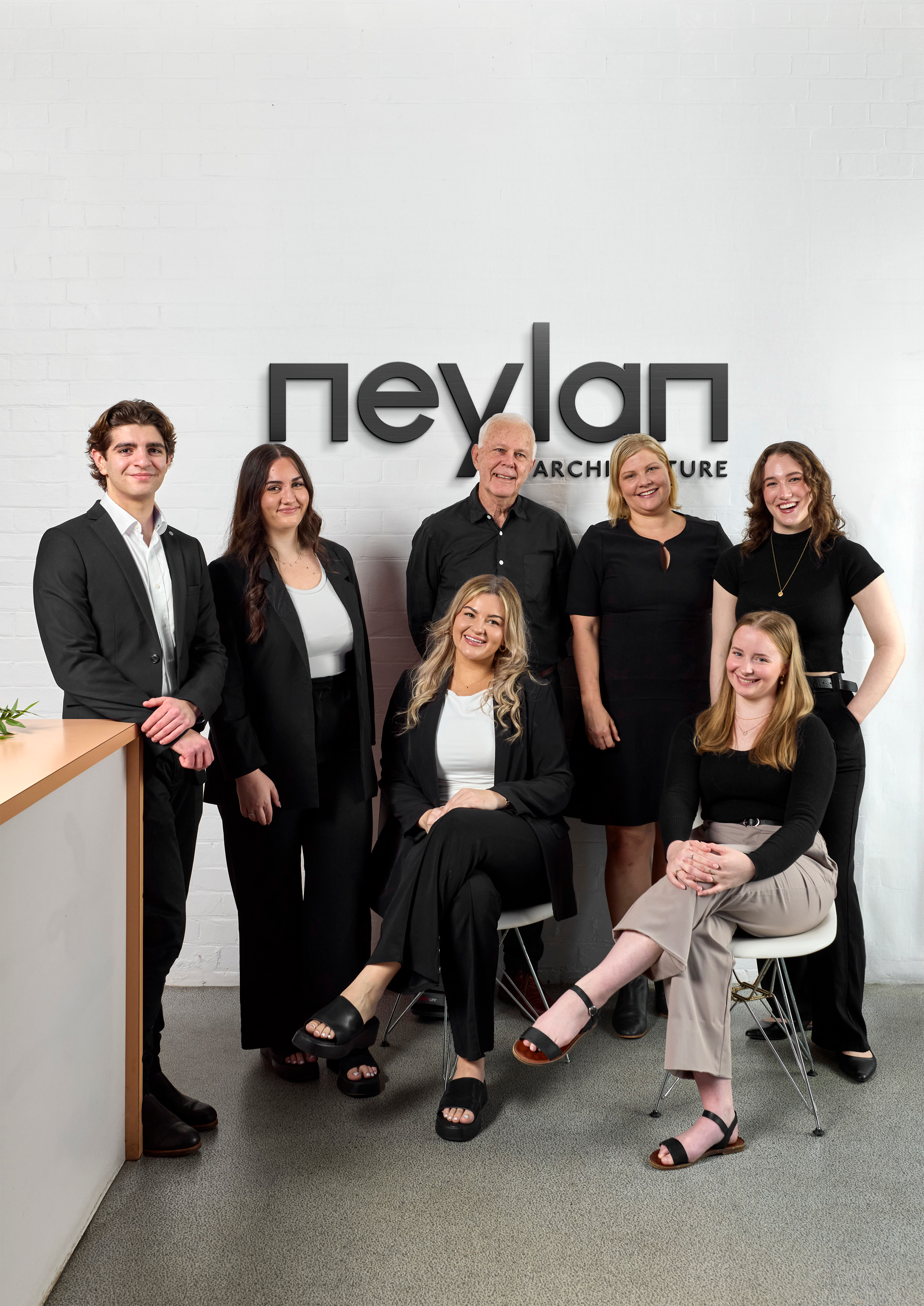
Since 1979, we’ve been building a reputation for innovative, sensitive design coupled with a practical, commercially based approach. Our reputation is built on a holistic approach to problem-solving, considering a client’s specific needs then creating solutions that work in the real world.
Architectural Expertise.
-
![]()
Education
-
![]()
Commercial
-
![]()
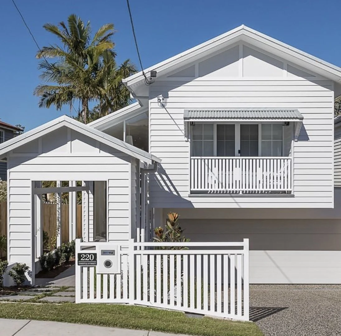
Residential
-
![]()
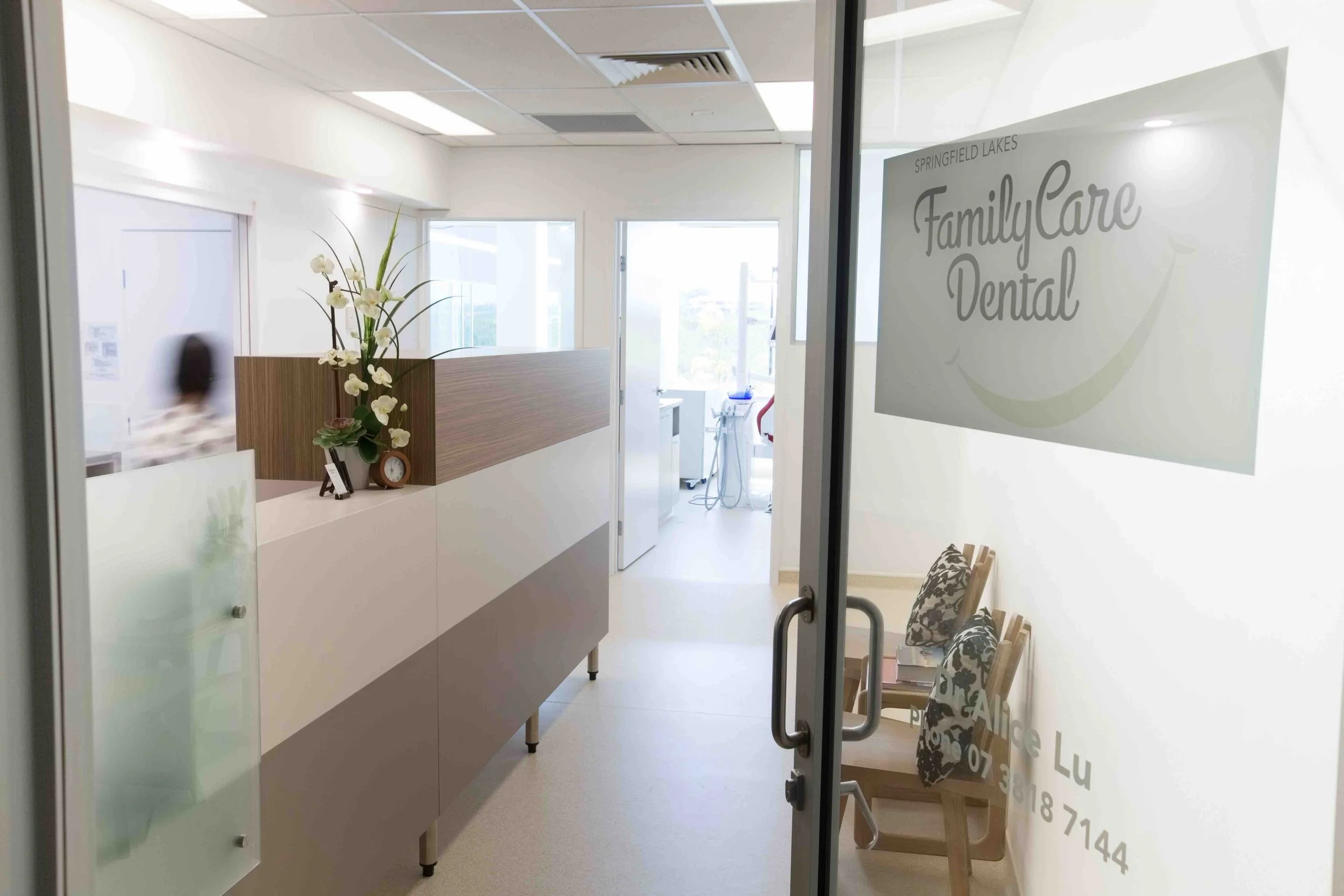
Health
-
![]()
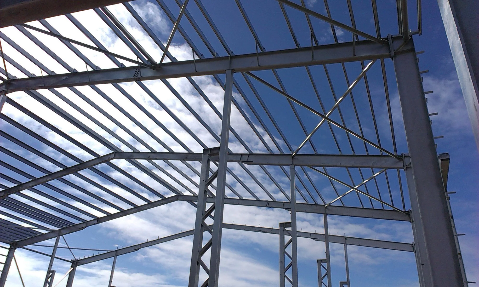
Industrial
-
![]()
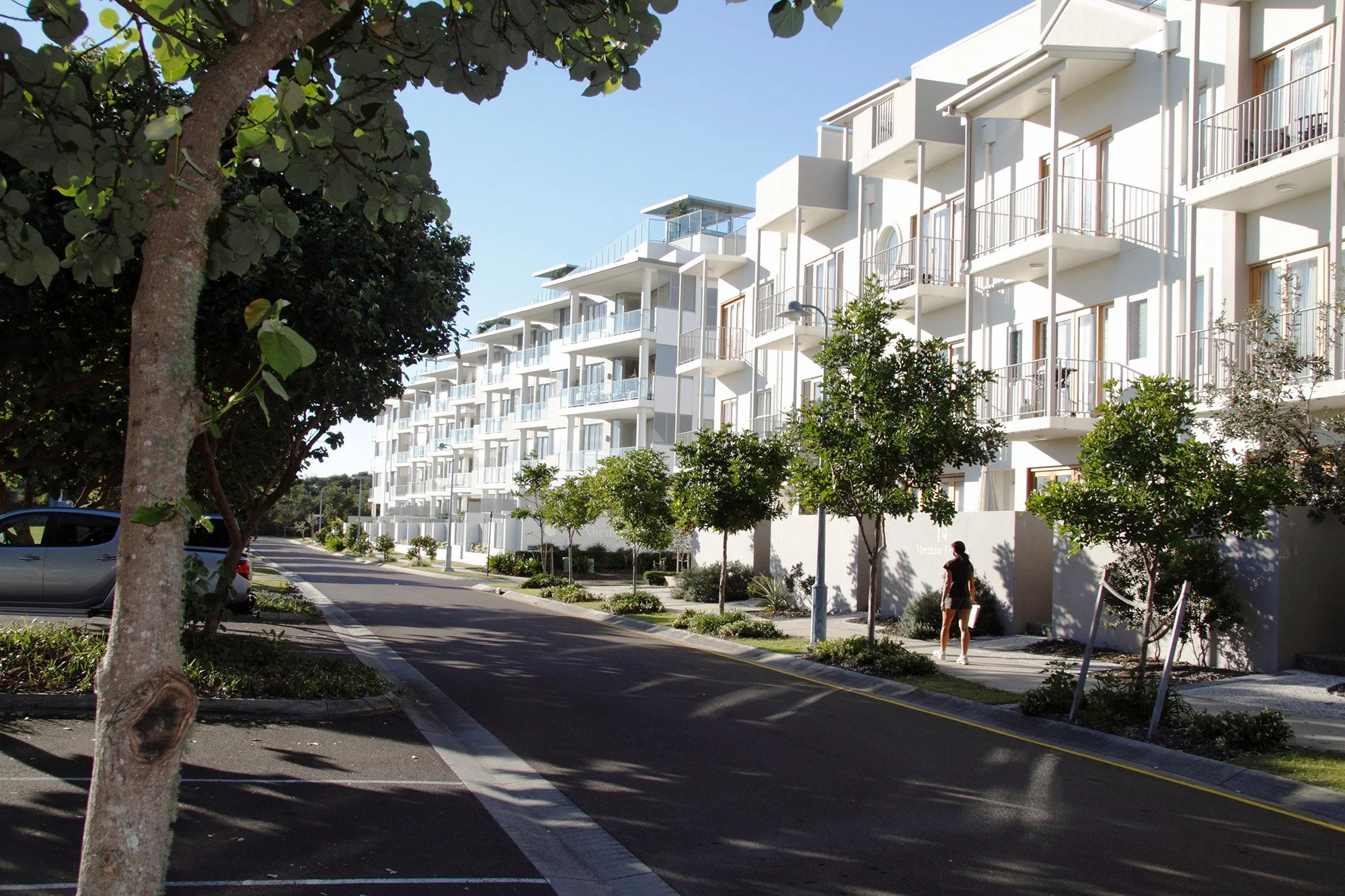
Urban Design


We design spaces for better living.
For us at Neylan, Architecture is more than just design, it has the power to shape how people feel. Our commitment to smart design ensures every project is future-focused and enhances the lives of its intended users.
We’ve worked with…


About Neylan.
Foundation
We design spaces where businesses flourish, communities grow and families thrive. Our expertise spans urban design, architecture, property evaluations, contract administration, interior design, and master planning.
Locations
Based in Brisbane, we design for clients throughout Queensland and beyond. With experience across a broad range of industries, our team holds the expertise to create spaces that not only meet, but exceed, the unique needs of each environment and client.
Excellence
As an award-winning practice, we’ve built a reputation on quality, reliability and capability. Our team has extensive experience across various sectors, crafting designs that are original and meet the specific needs and challenges of each client.
Impact
Our team takes great satisfaction in seeing individuals engage in the spaces we have created. The lasting impact of our designs are reflected in the way they enhance daily life, curating environments that inspire connection, productivity, and wellbeing.
Testimonials.
-
We believe our project could not have been a success without the valuable advice and major input from Neylan Architecture throughout the entire process and are more than happy to recommend their services.
Wei-Cheng Lu - Vice-Director of Tzu-Chi Foundation, Brisbane Chapter
-
We are very satisfied with the performance of Neylan Architecture over each of our projects because of their outstanding capability in design, ability to coordinate various consultants.
Vergepoint Development Pty Ltd
-
I have no hesitation in recommending Neylan Architects as an excellent and capable firm to work with.
Peter Robertson - Director of Renard Group of Companies
